|
||||||||||
| PREV PACKAGE NEXT PACKAGE | FRAMES NO FRAMES | |||||||||
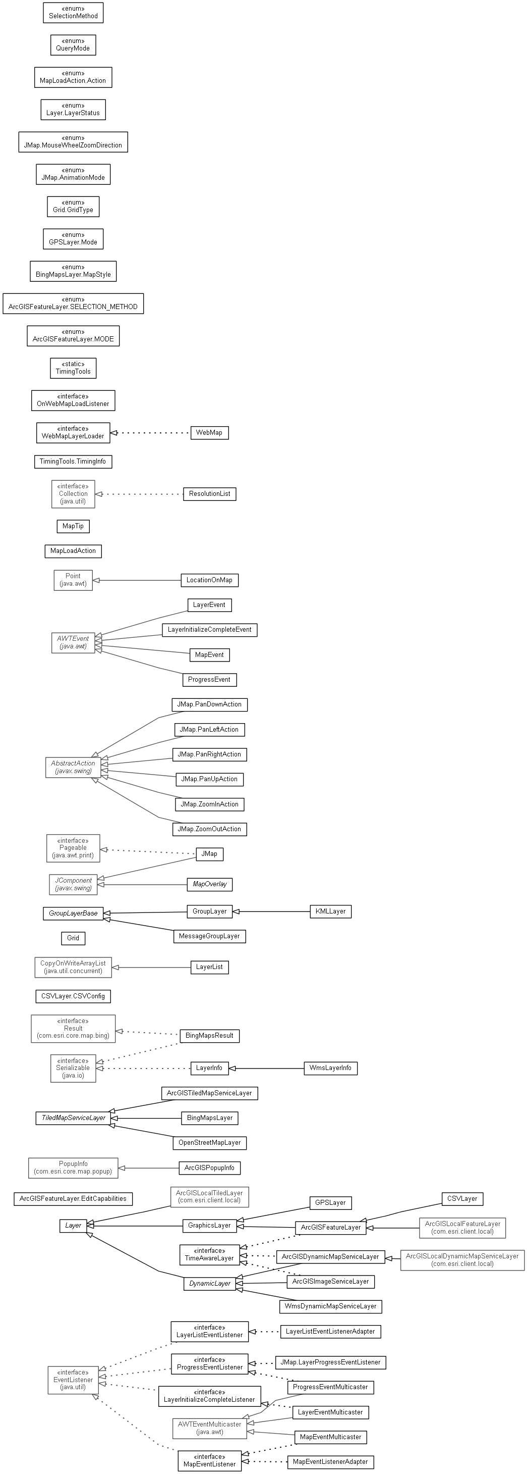
| Interface Summary | |
|---|---|
| LayerInitializeCompleteListener | The listener interface for receiving layerInitializeComplete events. |
| LayerListEventListener | |
| MapEventListener | The listener interface for receiving mapEvent events. |
| OnWebMapLoadListener | Implements this listener to handle WebMap loading on a MapView. |
| ProgressEventListener | The listener interface for receiving progressEvent events. |
| TimeAwareLayer | This interface should be implemented by any layer that can be filtered by date/time (time aware). |
| Class Summary | |
|---|---|
| ArcGISDynamicMapServiceLayer | An implementation of an ArcGIS Dynamic Map Service. |
| ArcGISFeatureLayer | ArcGISFeatureLayer is a type of GraphicsLayer that
allows you to display, select and query graphic features which consist of
geometry and attributes. |
| ArcGISFeatureLayer.EditCapabilities | |
| ArcGISImageServiceLayer | A layer that provides provides access to raster data. |
| ArcGISPopupInfo | |
| ArcGISTiledMapServiceLayer | An implementation of an ArcGIS Tiled Map Service. |
| BingMapsLayer | BingMapsLayer class is used to define the Layer populated from Bing Maps that can be added to the MapView object. |
| BingMapsResult | This class represents a Bing Maps result containing an address and its locations returned by a geocode or reverse-geocode request. |
| CSVLayer | |
| CSVLayer.CSVConfig | Configuration for the CSV type feature layer. |
| DynamicLayer | |
| GPSLayer | This purpose of this layer is to display location from a IGPSWatcher. |
| GraphicsLayer | The GraphicsLayer class represents a layer that contains one or more Graphic features. |
| Grid | This class allows you to control the display of a grid on a JMap by setting its type and visibility. |
| GroupLayer | A group layer is a collection of layers extending from the Layer class. it can appear and act as a single layer and has a Layer object's properties such as visibility, extent etc. |
| JMap | This class implements a map control that can be used to display and navigate layers of various types. |
| KMLLayer | The KMLLayer class represents a layer based on a KML file (.kml,.kmz). |
| Layer | This class contains methods that the JMap/Map will need to call on individual Layer classes to change extent, draw, etc. |
| LayerEvent | The Class LayerEvent. |
| LayerEventMulticaster | The Class LayerEventMulticaster. |
| LayerInfo | Holds meta-data about sub-layers of a dynamic layer and allows users to control the visibility of those sub-layers. |
| LayerInitializeCompleteEvent | The Class LayerInitializeCompleteEvent. |
| LayerList | |
| LayerListEventListenerAdapter | |
| LocationOnMap | Used to determine the location of a component on map. |
| MapEvent | The Class MapEvent. |
| MapEventListenerAdapter | Extend this class to handle map events when you are only interested in some of the events on the MapEventListener interface. |
| MapEventMulticaster | The Class MapEventMulticaster. |
| MapLoadAction<V> | MapLoadAction. |
| MapOverlay | Inherit this class to create a component that can be used to alter or block interactions with the map control and to paint on-top of the MapControl. |
| MapTip | Holder of MapTip information. |
| MessageGroupLayer | This class is used with the MessageProcessor class to
display the graphics associated with processed messages. |
| OpenStreetMapLayer | Layer that supports OpenStreetMap (OSM) tile servers. |
| ProgressEvent | ProgressEvents are fired by the Map to indicate the draw progress of the Map's layer collection. |
| ProgressEventMulticaster | The Class ProgressEventMulticaster. |
| ResolutionList | This class is used to contain a list of map resolution values that can be used to set fixed zoom levels in a JMap. |
| TimingTools | |
| TimingTools.TimingInfo | |
| WebMap | This class is used to open a Web Map by URL, ID or PortalItem and add it to a
JMap instance. |
| WmsDynamicMapServiceLayer | The Class WmsDynamicMapServiceLayer. |
| WmsLayerInfo | This class represents a layer in a WMS map service. |
| Enum Summary | |
|---|---|
| ArcGISFeatureLayer.MODE | The feature layer can work under 3 modes. |
| ArcGISFeatureLayer.SELECTION_METHOD | The modes used for the select features method. |
| BingMapsLayer.MapStyle | Map styles available for the imagery: Aerial - Aerial imagery AerialWithLabels - Aerial imagery with a road overlay Road - Roads without additional imagery. |
| GPSLayer.Mode | GPS modes. |
| Grid.GridType | |
| JMap.AnimationMode | Different animation modes controlling zoom animations. |
| JMap.MouseWheelZoomDirection | Choices for zoom direction based on mouse wheel movement. |
| Layer.LayerStatus | |
| MapLoadAction.Action | The Enum Action. |
| QueryMode | A feature layer can work in three modes. |
| SelectionMethod | Possible feature selection methods. |
|
||||||||||
| PREV PACKAGE NEXT PACKAGE | FRAMES NO FRAMES | |||||||||