|
||||||||||
| PREV PACKAGE NEXT PACKAGE | FRAMES NO FRAMES | |||||||||
See:
Description
| Interface Summary | |
|---|---|
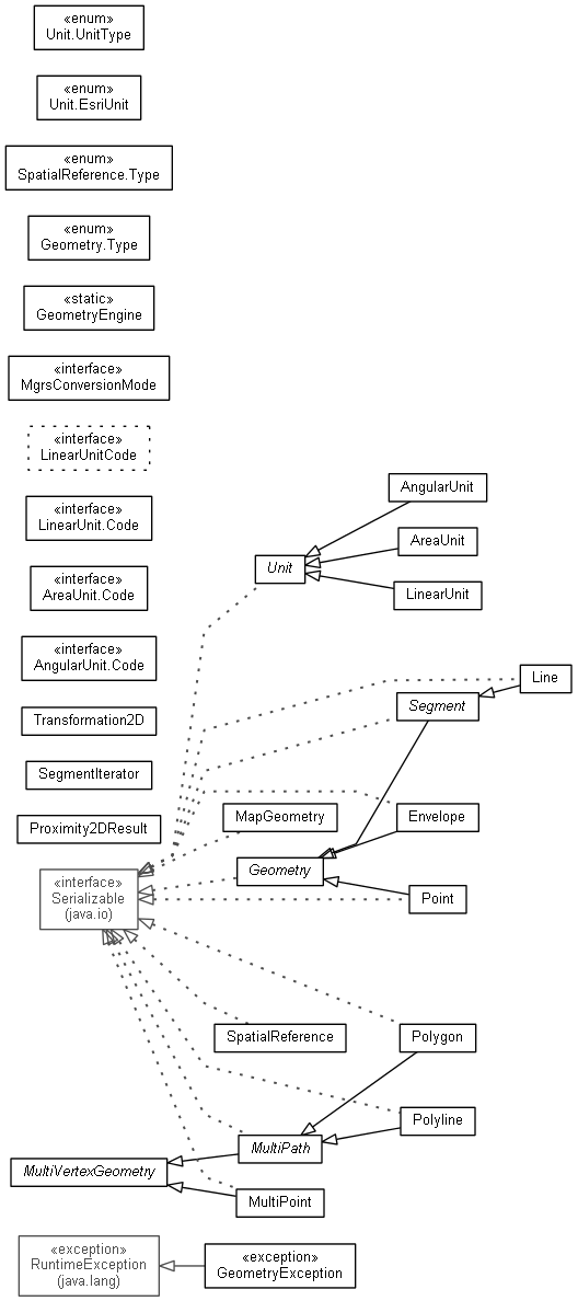
| AngularUnit.Code | The codes defined for the angular units. |
| AreaUnit.Code | Area unit codes. |
| LinearUnit.Code | Linear Unit codes |
| LinearUnitCode | Deprecated. Method introduced at Beta. |
| MgrsConversionMode | The modes for converting between military grid reference system (MGRS) notation and coordinates. |
| Class Summary | |
|---|---|
| AngularUnit | The units to measure angles. |
| AreaUnit | The units to measure for areas. |
| Envelope | Envelopes are the rectangular window that contain a specific element. |
| Geometry | Common properties and methods shared by all geometric objects. |
| GeometryEngine | Provides services that operate on geometry instances. |
| Line | A straight line between a pair of points. |
| LinearUnit | Unit for measurement of dimensions. |
| MapGeometry | The MapGeometry class bundles the geometry with its spatial reference together. |
| MultiPath | The MulitPath class is a base class for polygons and polylines. |
| MultiPoint | A Multipoint is a collection of points. |
| Point | A Point is a zero-dimensional object that represents a specific (X,Y) location in a two-dimensional XY-Plane. |
| Polygon | A polygon is a collection of one or many interior or exterior rings. |
| Polyline | A polyline is a collection of one or many paths. |
| Proximity2DResult | Proximity operators are used to find the distance between two geometries or the distance from a given point to the nearest point on another geometry. |
| Segment | A base class for segments. |
| SegmentIterator | This class provides functionality to iterate over multipath segments. |
| SpatialReference | An abstract class that represent the spatial reference for the geometry. |
| Transformation2D | The affine transformation class for 2D. |
| Unit | A base class for units. |
| Enum Summary | |
|---|---|
| Geometry.Type | The type of this geometry. |
| SpatialReference.Type | The spatial reference type can be local, geographic, or projected. |
| Unit.EsriUnit | |
| Unit.UnitType | Unit type (linear, angular, or area) |
| Exception Summary | |
|---|---|
| GeometryException | A runtime exception raised when a geometry related exception occurs. |
Provides classes for different types of geometries, e.g. Points, Lines or Polylines, Polygons, etc., and for geometric calculations such as buffering, simplifying, calculating areas and lengths, and projecting.
|
||||||||||
| PREV PACKAGE NEXT PACKAGE | FRAMES NO FRAMES | |||||||||