The Export Product Library Maps to Production PDF Python script uses Esri Production Mapping’s new Python site package, ArcPyProduction, to combine the capabilities of ArcPy and the geoprocessing functionality of product library. The primary function of this script is to … Continue reading
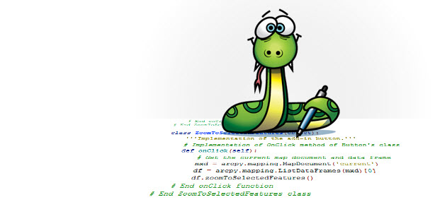
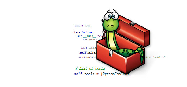
This blog demonstrates how you can debug a Python Toolbox (.pyt) to troubleshoot and fix any errors that may be causing your tool to fail or produce invalid results. Python Toolboxes are new at ArcGIS 10.1 and provide a new … Continue reading
Sometimes it can be a real pain to use a graphic user interface, or GUI. With ArcGIS geoprocessing tools we have tried to make the tool GUI, the tool dialog, easy to use. But sometimes the repetitive nature of a … Continue reading
ArcPy list functions give you the options to list out a particular data type for a given workspace, but expanding that out to a directory tree meant cobbling together those list functions with Python’s os.walk and lots of updates to the workspace environment. It can be done (as shown here), but in my experience it [...]![]()
Shifting (or moving) features is a snap using the arcpy.da module’s UpdateCursor. By modifying the SHAPE@XY token, it modifies the centroid of the feature and shifts the rest of the feature to match. This approach will hold for point, polyline or polygon features. To modify only a single or subset of features in a feature [...]![]()


")
")


")
")


