Mapping your data offers great insight into spatial patterns and allows for quick and easy visual analysis, but there may be times where you would like to obtain contextual information to provide deeper insights about the area surrounding that data. Esri's GeoEnrichment capabilities allow you to answer questions about locations that you can't answer with maps alone. For example: What kind of people live here? What do people like to do in this area? What are their habits and lifestyles? What kind of businesses are in this area?
Infographics
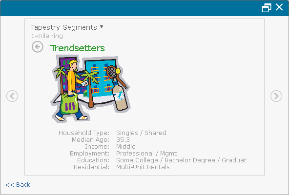
Infographics are visualizations that provide rich contextual information about the areas surrounding the features in your map. When you click the Infographics icon in a pop-up window, ArcGIS aggregates the demographics around that feature on your map and delivers them using easy-to-understand Infographics that contain information such as age distribution and income for a set distance around the selected location. The information contained in Infographics is available while the pop-up window is open and is not saved to your business system.

Data enrichment variables
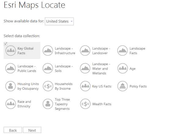
Data enrichment variables are contextual variables available for locations throughout the US, Canada, and some countries in Western Europe. Available variables include demographic and socioeconomic factors, age distributions, landscape data, and area wealth information, all of which can be added to your business system (for example, appended as columns in a spreadsheet). Data enrichment variables are added to existing data by selecting either a drive time or distance ring. For example, you may want to add demographic data for an area of three miles around your input location.

Reports
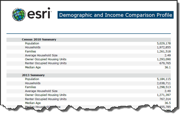
Reports allow you to share your information in PDF or Excel format with colleagues. There are over 20 different reports from which to choose, including Demographic and Income Profile, Executive Summary, and Retail Goods and Services Expenditures. These reports can be generated to include values within a certain distance (either a ring or drive distance) or within a certain drive time.

