Online Content
Online content includes online maps and tasks published and hosted by Esri that you can use in your ArcGIS clients and applications. This online content from Esri is powered by ArcGIS Server and includes basemaps, reference layers, specialty maps, and task-based functional services such as geocoding and routing. Online map layers that you can use within your own map documents and applications include imagery, street maps, topographic maps, shaded relief, demographic maps, and more.
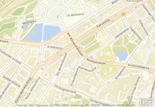
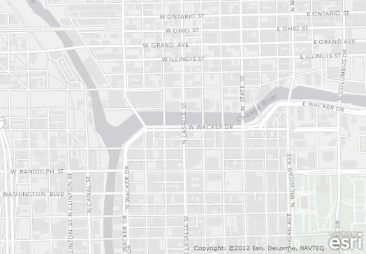
Focus on roads, highways, and other manmade features around the world.
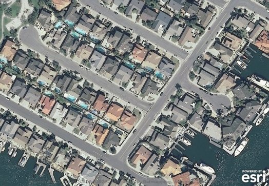
High resolution satellite and aerial imagery in many parts of the world.
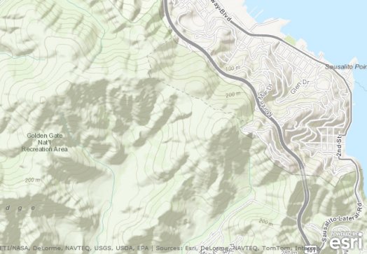
A comprehensive world map of natural and manmade features. Flagship map of the Community Maps Program where users can submit data for inclusion in the map.
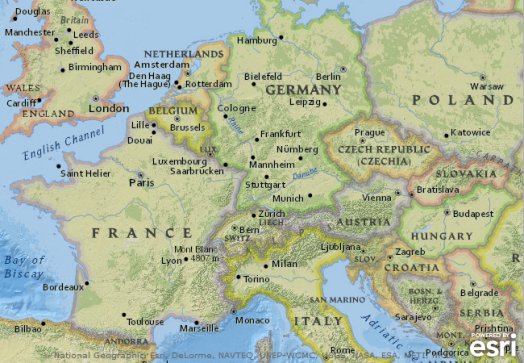
A political map of the world jointly created by Esri and the National Geographic Society.
A neutral background with minimal colors, labels, and features, allowing your thematic data to come to the foreground.
A number of other maps are hosted by Esri as well. You can explore the gallery to see all the maps that are available.