ArcGIS for Aid Transparency provides maps and apps to empower donors, nonprofits, and NGOs with GIS solutions to support their missions around the world.

This Data Collection template provides a simple, easy to use application to quickly collect and maintain information (location and attributes) on programs, projects, and activities being implemented by aid organizations, or any other type of point data.
Read more...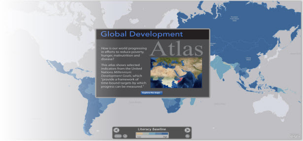
The Global Development Atlas is an application template and series of intelligent web maps that help aid organizations illuminate the landscape of needs and the best locations to make investments and interventions.
Read more...
This interactive map displays DRI delivery partner facilities as features on a map, where the size of a feature is relative to the total value of the shipments received by the facility.
Read more...The Community Maps Team has just launched a new version of the Community Maps Contributor App! The Community Maps Contributor App offers an improved user experience, a new option for sharing map data, and better ways for our contributors to manage … Continue reading
Scheduled Release Date: April 11, 2018 Our upcoming release of Landsat Image Services includes some noteworthy updates… Improvements Revised scaling. The Top of Atmosphere (TOA) reflectance values (which range from 0 – 1 by default) will now be scaled using a … Continue reading
Is your GIS living up to its potential? With today’s technology, your GIS can be so much more than a system of record. I know GIS is great at storing your authoritative data but it’s also good at sharing your … Continue reading
My human left the puzzle box out again! What a great place to have a nap. It looks like the box will fit about 50% of my data, which is the perfect size. My human knows how I love a … Continue reading
Thank you for your patience on Tuesday 3/20/18 as we worked through the ArcGIS Online disruptions in providing access to your services, maps and apps. We understand the importance of continuing to provide a resilient, redundant and well architected system … Continue reading


