
ArcGIS Explorer Desktop build 2500 is now available for download. This release includes exciting new functionality and features such as enhanced search and presentation options.
Download now ...
Build 2500 of ArcGIS Explorer Desktop includes new functionality that will make your workflows easier and more efficient. New search capabilities and presentation options are just some of the new features.
What's new ...
Visualize data and photos in 3D using ArcGIS Explorer Desktop then share them with others as layer packages.
Read more ...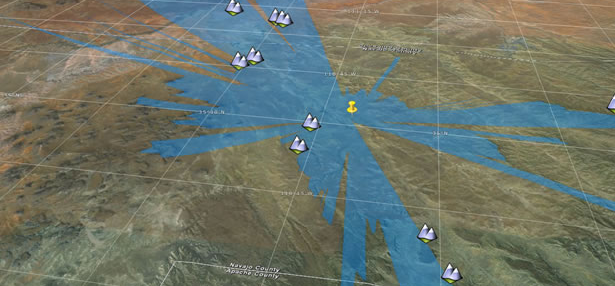
ArcGIS Explorer Desktop helps to connect Hopi youth with their heritage.
Read more ...A new version of ArcGIS Explorer Desktop (2500) has just been released. This release includes many new features and enhancements which will enable ArcGIS Explorer Desktop to be used effectively in your enterprise, or in conjunction with your ArcGIS Online … Continue reading
The public beta version of ArcGIS Explorer Desktop 2012 is now available to install. This represents a significant release with many new capabilities. Key features available in the beta release include: Updated ArcGIS Online web map support. Integration with ArcGIS … Continue reading
Virtual 3D cities and geodesign in 3D are hot topics these days, and at the recent Esri Partner Conference and Developer Summit lead product engineer Mark Bockenhauer demonstrated some interesting capabilities which can potentially make your entire virtual city, including … Continue reading
Over the last couple of days at the 2012 Esri Partner Conference and Developer Summit we’ve had a number of questions about ArcGIS Explorer Desktop and the road ahead. If you’re at the DevSummit this afternoon Mark Bockenhauer and Jim … Continue reading
National Geographic and Esri have collaborated to produce this cartographically distinctive basemap that reflects National Geographic’s cartographic design, typographic style, and map policies. This basemap provides a visually appealing background for web mapping applications for mobile users, consumers, and educational … Continue reading


